The Natchez Trace Parkway Corridor – Middle Tennessee
The Natchez Trace Parkway, a linear National Park, provides travelers a drive through 10,000 years of history by way of a scenic byway that spans three states. The Land Trust for Tennessee is working with landowners and the National Park Service to protect land in Tennessee visible from the historic road, including land that the original Natchez Trace footpath followed.

About Natchez Trace Parkway:
The Natchez Trace Parkway is 444-mile recreational road and scenic drive through three states managed by the National Park Service (NPS). In the words of the NPS, the trace “roughly follows the “Old Natchez Trace” a historic travel corridor used by American Indians, ‘Kaintucks,’ European settlers, slave traders, soldiers, and future presidents. Today, people can enjoy not only a scenic drive but also hiking, biking, horseback riding, and camping along the parkway.”
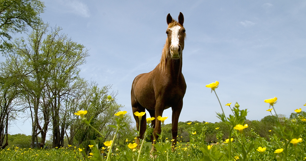
Many visitors who drive, bike, hike or ride horses along the Natchez Trace Parkway do not realize that most of the beautiful landscapes they enjoy are not part of the parkway, but private property. Conserving the land along the trace preserves the experience of the historic landscape, which supports local tourism, as well the community character.
At the Ground Level: Conserving Land along the Natchez Trace Parkway
The Land Trust for Tennessee has completed projects with landowners in four counties along the Natchez Trace Parkway including, forested properties at the terminus near the Loveless Cafe in Davidson County, farms in the historic village of Leiper’s Fork and the Water Valley community of Maury County, and large swaths of undeveloped forestland in Lewis County. Since 1999, The Land Trust for Tennessee has partnered with over 20 private landowners to permanently conserve more than 5,700 acres in the viewshed.